Groundwater in SW Europe: Monitoring and Action Playbook
Not all SW Europe groundwater is falling. Use this monitoring checklist and scorecard to pick the right action fast.
Short answer
Groundwater in southwestern Europe is not shrinking everywhere. Many monitoring wells stay stable for decades, while some hotspots drop fast because of irrigation pumping, growing cities, and longer, hotter droughts. The safest next step is simple: use local well data (not headlines alone), then match the fix to the driver.
What this playbook helps you do
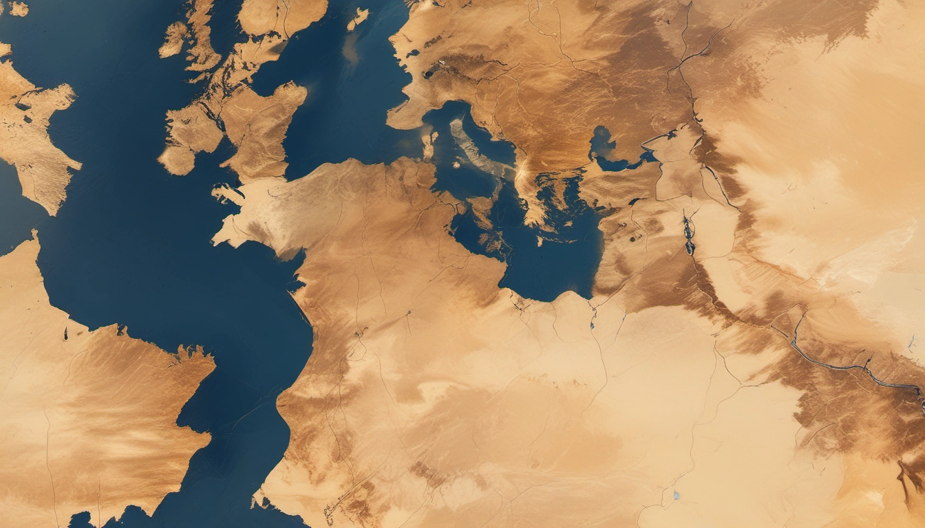
This is a practical guide for Portugal, Spain, France, and Italy. Use it if you are asking: Are groundwater levels declining everywhere in southwestern Europe? or What should we monitor next?
- Read trends without mixing up satellites and wells.
- Spot the likely driver: drought, irrigation, urban supply, pollution, or seawater intrusion.
- Translate policy: what groundwater quantitative status Europe means under the Water Framework Directive groundwater rules.
- Build a minimum monitoring plan you can run every month.
- Pick actions: demand cuts, wastewater reuse, managed aquifer recharge (MAR), and better rules.
Satellites vs wells: what are they really measuring?
A common confusion is: Satellites show groundwater disappearing, but wells look stable. Both can be true because they measure different things at different scales.
| Tool | What it measures | Best for | Common pitfall |
|---|---|---|---|
| GRACE satellites (terrestrial water storage) | Total water mass change: groundwater + soil moisture + surface water + snow | Big regional signals; multi-year drought patterns | Not “just groundwater”; coarse resolution can miss local aquifers |
| Groundwater monitoring wells (piezometric levels) | Water level in a specific aquifer at a specific place | Permits, drought plans, local risk, early warning | Hard to compare if wells have different depths, screens, or pumping effects |
Rule of thumb
If you need to decide how much pumping is safe in one basin, trust groundwater monitoring wells Europe style data first. If you need a broad picture of a dry decade, use satellites as a background signal, then validate with wells.
Are groundwater levels declining across SW Europe?
Many people assume the answer is “yes, everywhere.” Long-term well studies in the region show a more mixed story: most wells show no strong long-term change, while a smaller share shows clear depletion, rising levels, or recovery after depletion.
Why trends differ by aquifer
- Rain and recharge: Some temperate areas recover in wetter periods.
- Heat and soil moisture loss: Hotter summers dry soils, raising irrigation demand and reducing recharge.
- Pumping patterns: Seasonal irrigation pumping can create big summer drops.
- Urban demand: Large cities can drive steady, year-round declines.
- Geology: Karst and fractured rock can respond faster than deep porous aquifers.
Where are the main hotspots (and why)?
Hotspots are usually places with high demand + low recharge + weak controls. Examples in the literature include semi-arid farm regions, fast-growing cities, and stressed coastal aquifers.
- Semi-arid irrigation basins (parts of southern and eastern Spain, some areas in Portugal and Italy): prolonged dry spells plus heavy pumping can push recharge vs abstraction out of balance.
- Urban supply zones (example: Bordeaux area in France): rising domestic demand can link to groundwater decline when alternatives are limited.
- Coastal aquifers (tourism and irrigation): summer demand peaks can raise seawater intrusion risk.
- Pollution pressure zones (intensive farming): falling levels can concentrate nitrate and make treatment harder.
Driver-to-symptom matrix: match the problem to what you measure
| Likely driver | What you may see | Top indicators to track | Fast first action |
|---|---|---|---|
| Precipitation deficit / shorter recharge season | Slow multi-year decline; weak winter rebound | Rain, recharge season length, well winter peak level | Drought rules tied to triggers |
| Soil moisture deficit + hotter summers | Bigger summer drawdowns; earlier irrigation start | Soil moisture, irrigation season length, monthly level range | Irrigation scheduling + crop shifts |
| Irrigation pumping (over-abstraction) | Sharp drops during pumping; recovery in winter | Pumping volumes, meters, energy use proxy, water levels near wellfields | Metering + allocation caps |
| Urban groundwater demand | Steady decline all year; less seasonal pattern | Utility abstraction, leakage, per-capita use, well trends near city | Leakage reduction + demand plan |
| Nitrate / pesticides (diffuse pollution) | Rising concentrations; long cleanup times | Nitrate, pesticide screens, land use, vulnerable zones | Source control + protection areas |
| Seawater intrusion | Chloride rising; wells get salty in dry years | Chloride/EC, coastal heads, pumping near shore | Move pumping inland + barriers/MAR |
Quality risks: why “quantity only” can mislead
In southwestern Europe, groundwater is a drought buffer for drinking water and farming. But quality can be the hidden limit.
Nitrates and pesticides
Groundwater pollution from agriculture is widespread. Monitoring sites find pesticides above legal limits at 3% to 7% of locations. Nitrate can stay stubborn even when practices improve.
Practical implication: Falling levels concentrate pollutants. Quantity may look okay while quality fails safety standards.
Seawater intrusion in coastal aquifers
Summer demand peaks lower levels when recharge is lowest. Track chloride early, not after wells turn salty.
Groundwater dependent ecosystems
Pumping should not harm streams, wetlands, or springs. This is key under the Water Framework Directive.
Water Framework Directive (WFD) translation
- Quantitative status: Are we taking more water than the aquifer can handle?
- Chemical status: Is water quality within safe limits?
- Status is reported in River Basin Management Plans.
Helpful starting point: EU groundwater policy overview.
Minimum monitoring network
Quantity
- Pick sentinel wells: recharge area, pumping zone, sensitive targets.
- Measure levels monthly with consistent timing.
- Track abstraction via meters or energy proxy.
- Define trigger levels for drought stages.
Climate
- Rain + temperature data.
- Soil moisture deficit.
- Recharge season notes.
Quality
- Nitrate quarterly in farming zones.
- Salinity monthly in coastal areas.
- Pesticide screens seasonally based on risk.
30-minute Basin/Aquifer Risk Prioritization Scorecard
Scorecard: Groundwater risk (0-3 each)

A) Demand pressure
- Irrigation share high? (0-3)
- Urban/tourism demand growing? (0-3)
- Pumping metered and controlled? (0=strong control, 3=weak control)

B) Climate and recharge
- Frequent drought / soil moisture deficit? (0-3)
- Recharge season shortening or very uncertain? (0-3)

C) Aquifer sensitivity
- Coastal intrusion risk? (0-3)
- Strong connection to rivers/wetlands? (0-3)

D) Water quality
- Nitrate risk from agriculture? (0-3)
- Known pesticide detections? (0-3)

E) Data confidence
- Good long-term well record? (0=good, 3=poor)

Total score = ____ / 30
Priority bands: 0-9 low, 10-19 medium, 20-30 high
Practical implication: Medium quantity risks become high risks if nitrate or salinity are present.
Intervention decision tree
- Confirm the trend: Check multi-year data across wells.
- Classify decline shape: seasonal vs steady.
- Check quality: nitrate, pesticides, salinity.
- Pick 1–2 actions tied to drivers.
What works in practice
1) Demand management
- Agriculture: Improve scheduling, fix leaks, match crops.
- Cities: Reduce leakage, set drought tariffs.
2) Metering and allocation
- Universal pumping meters in high-risk basins.
- Clear permits with enforceable caps.
- Seasonal rules tied to trigger levels.
3) Wastewater reuse
Murcia, Spain shows reuse can support irrigation and replenish aquifers. Monitor salts and nutrients.
4) Managed Aquifer Recharge (MAR)
- Best use: Create drought buffers or reduce seawater intrusion.
- Key rule: Ensure recharge water quality is safe.
5) Source protection
Prevent nitrate pollution via fertilizer management and protection zones.
6) Governance
Clear roles and monitoring reduce conflict (e.g., Eastern La Mancha).
Four quick case snippets
Andalusia (Spain)
Groundwater boosts drought resilience but needs caps and monitoring.
Bordeaux (France)
Urban demand drives decline; include city planning in groundwater strategy.
Murcia (Spain)
Wastewater reuse is a core supply tool in dry regions.
Coastal tourism zones
Move pumping inland, monitor salinity early.
Glossary
- Aquifer: Rock or sediment storing groundwater.
- Recharge: Water soaking into ground.
- Abstraction: Pumping water out.
- Piezometric level: Water level in a well.
- Seawater intrusion: Saltwater entering freshwater aquifer.
- MAR: Adding water to aquifer intentionally.
FAQ
Which regions in Spain have overexploited aquifers in 2024?
Check River Basin Management Plans (2022–2027) and WFD status maps.
What does good quantitative status mean for permits?
Pumping must avoid long-term drops and protect connected ecosystems.
How drought increases irrigation pumping?
Heat raises demand when recharge is lowest, widening the gap.
What should a citizen do?
Ask authorities to publish drought triggers, abstraction totals, and quality trends.
Key takeaway: Build a monitoring plan that matches your basin. Choose actions that fit the driver.
Further reading: EEA water topics.